Will your neighborhood flood during a hurricane? An expert explains how AI can predict vulnerable areas before extreme weather strikes
Latest from Tom's Guide ·
null
I never deemed it possible, but AI’s ability to predict extreme weather conditions has actually morphed from a fantasy into a reality.
Tools such as Google DeepMind’s GraphCast , Huawei’s Pangu-Weather and ECMWF’s AIFS have emerged—by running on decades of historical weather and atmospheric data, they all rely on pattern recognition to be as fast and efficient as possible when generating global forecasts. Even organizations such as the National Oceanic and Atmospheric Administration (NOAA) and the European Centre for Medium-Range Weather Forecasts (ECMWF) have utilized AI weather systems to keep track of large-scale environmental events.
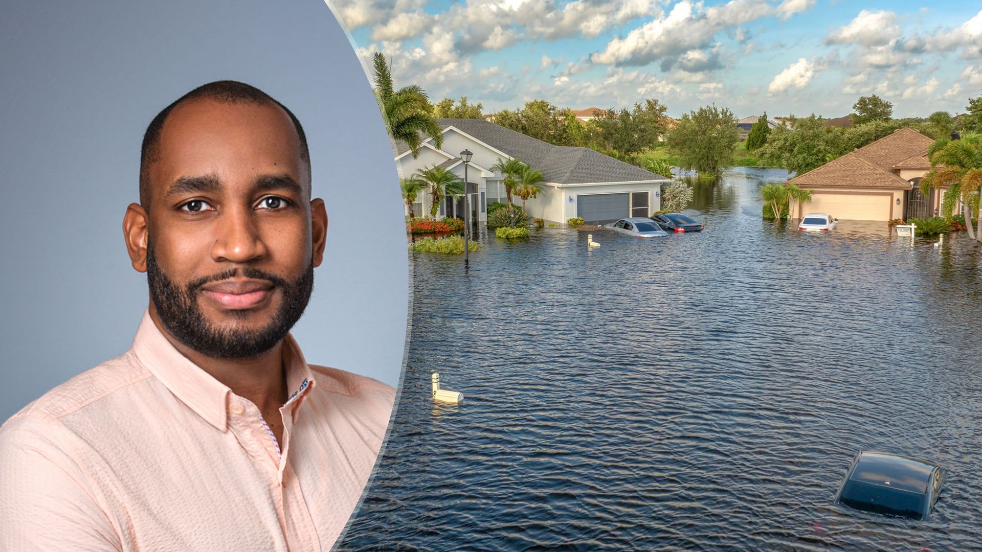
The emergence of spatial AI is doing even more in that regard, as it's already helping US cities predict and prepare for floods, wildfires and urgent infrastructure failures before a disaster strikes.
Hantz Févry, CEO of Geolava , which is a technology lab developing AI models for the physical world, answered some questions about how spatial AI works when predicting extreme weather events. He also provided proof of its usefulness, as it’s already assisted the people of Florida in a major way.
Weather AI predicts what the atmosphere is going to do. Spatial AI predicts what that weather will actually do to a specific place: this culvert, this stretch of road, this block. A traditional forecast can tell you that six inches of rain will fall over Tampa.
We can tell you which streets will flood, which drainage assets are already degraded, and where failure is likely to happen first. Forecasting has become very good at understanding the hazard, but it’s largely blind to vulnerability, because it doesn’t know the condition of the physical world the hazard hits.
Our thesis at Geolava is that you can predict consequential physical change before it becomes physical failure, and the condition of the built world is the missing half of that equation.
Weather AI predicts what the atmosphere is going to do. Spatial AI predicts what that weather will actually do to a specific place: this culvert, this stretch of road, this block.
Our work with the Florida Department of Transportation is the clearest one.
We were able to forecast flood risk on road assets, with about 87% accuracy. Our platform, Terra, continuously observes assets like roads, sidewalks, drainage, and the vegetation around them. It scores their condition, tracks how quickly they’re degrading, and forecasts what will happen if current conditions continue. What it catches is the slow, compounding change no human team can track across thousands of miles: a culvert gradually silting up, pavement beginning to subside, vegetation creeping into a right-of-way.
Planners don’t miss these things because they’re careless. No city has the staff to inspect every asset every month. We give them a prioritized picture of where to look first.
No model is perfect, and anyone who claims theirs is shouldn’t be trusted with public infrastructure.
The way we handle that is by reissuing forecasts every time we get a new observation, much like a weather forecast that updates as the storm develops, so errors get corrected rather than locked in. Terra is also decision support, not a decision-maker. Engineers and city staff make the call, and every forecast comes with a time range and the evidence behind it. On the question of overlooking vulnerable neighborhoods, I’d argue the bigger risk is the status quo.
Today, inspections often follow complaints and political pressure, and the neighborhoods that don’t call 311 are the ones that get missed. Systematic, citywide monitoring looks at every block the same way.
No model is perfect, and anyone who claims theirs is shouldn’t be trusted with public infrastructure.
We built Terra on the assumption that records would be incomplete, because they almost always are. It relies primarily on imagery and observation (aerial, satellite, and street-level), not on a perfect asset database.
In Jacksonville, for example, we verified and corrected a city’s sidewalk inventory against what was actually on the ground. Bad records are usually our starting point, not a barrier. The cost of observing the physical world keeps falling, and that’s what makes this viable for cities without big budgets, since they don’t need to build their own sensor networks.
The digital divide is a real concern, though, and it’s on us and our public-sector partners to make sure smaller and less-resourced communities aren’t last in line
A demo shows you the best case. Trust in the real world comes from how a system behaves in the worst case, and from how honestly it communicates its own uncertainty.
The biggest lesson I took away is that ground truth is everything. We validate against what actually happened on the ground, not against benchmarks. When lives are at stake, the system also has to be explainable to the person accountable for the decision, and that’s usually a public works engineer, not a data scientist.
That’s why we started narrow, focusing on condition and degradation for a few asset types before expanding into failure prediction. Shipping something narrow and right beats shipping something broad and wrong.
Trust in the real world comes from how a system behaves in the worst case, and from how honestly it communicates its own uncertainty.
Terra gives the department continuous monitoring of its road assets: condition scores, degradation rates, and forward-looking risk of flooding and failure. The goal is to move from reactive repair to proactive maintenance, fixing an asset before it fails in the middle of a storm rather than after. We’ll measure success concretely.
That means how accurate our forecasts prove to be against what actually happens, how much lead time we give the department, whether emergency repairs and storm-related road closures go down, and how much cost is avoided for every dollar spent.
Days before landfall, that city would know which specific roads, drains, and neighborhoods are likely to fail under this particular storm’s track and rainfall, rather than relying on a generic flood map. It could pre-position pumps, crews, and barriers at the assets most at risk instead of spreading resources thin. It could choose evacuation routes based on which roads are forecast to stay passable, which matters most for residents who don’t have cars.
Once the storm passes, damage assessment would take hours instead of weeks, because the city would already know the condition of every asset beforehand and could measure exactly what changed. Today, cities prepare for the storm. In 2035, they’ll be able to prepare for its consequences, block by block.
Today, cities prepare for the storm. In 2035, they’ll be able to prepare for its consequences, block by block.